-40%
6 MAP GROUP HYDROGRAPHIC MAPS OF WORLD; General currents, Sailing Routes, Ocean
$ 47.52
- Description
- Size Guide
Description
SEVERAL DIFFERENT SIZED HYDROGRAPHIC MAPS.All have age related paper toning. Some have creases that fall outside of original fold creases.
GROUP OF FOLDED MAPS DATED 1953-1974. MY GUESS IS THAT ALL BUT ONE WERE PRINTED 1973/1974, WITH THE LAST POSSIBLY IN 1968. ALL HAVE AGE RELATED PAPER TONING. MINOR HANDLING CREASES OUTSIDE OF THE INITIAL PRODUCTION FOLDS. NO TEARS EXCEPT TO THE MARGIN OF "JANUARY CLIMACTIC CHART"
1-
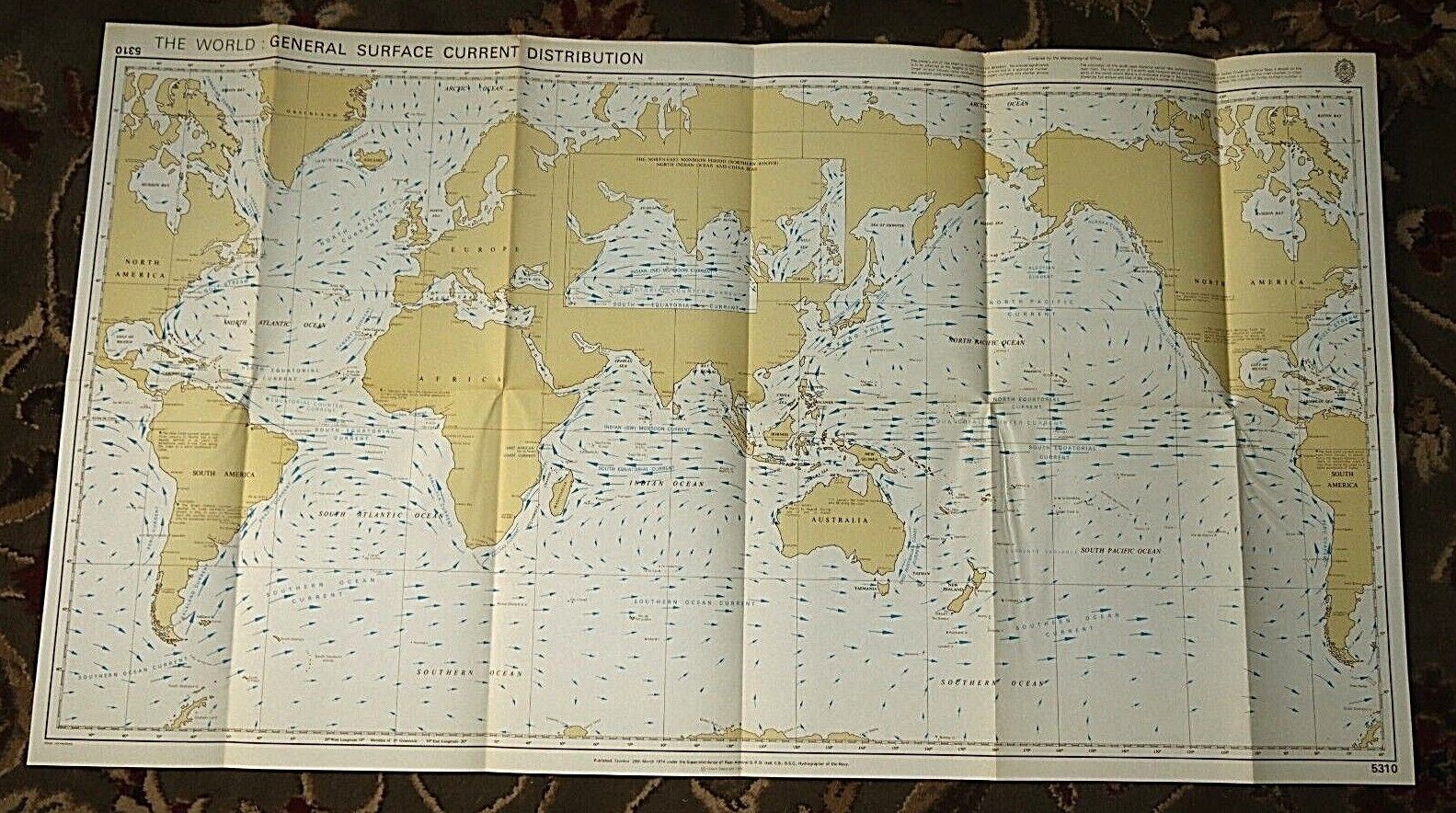
WORLD GENERAL SURFACE CURRENT DISTRIBUTION MAP. 1974. Prepared under the superintendence of Rear Admiral G. P. D Hall, Hydrographer of the Navy No. 5310. 22" x 39.5"
2- WORLD MAIN OCEAN ROUTES. 1973.
Prepared under the superintendence of Rear Admiral G. P. D Hall, Hydrographer of the Navy No. 5307. 22" X 39.5"
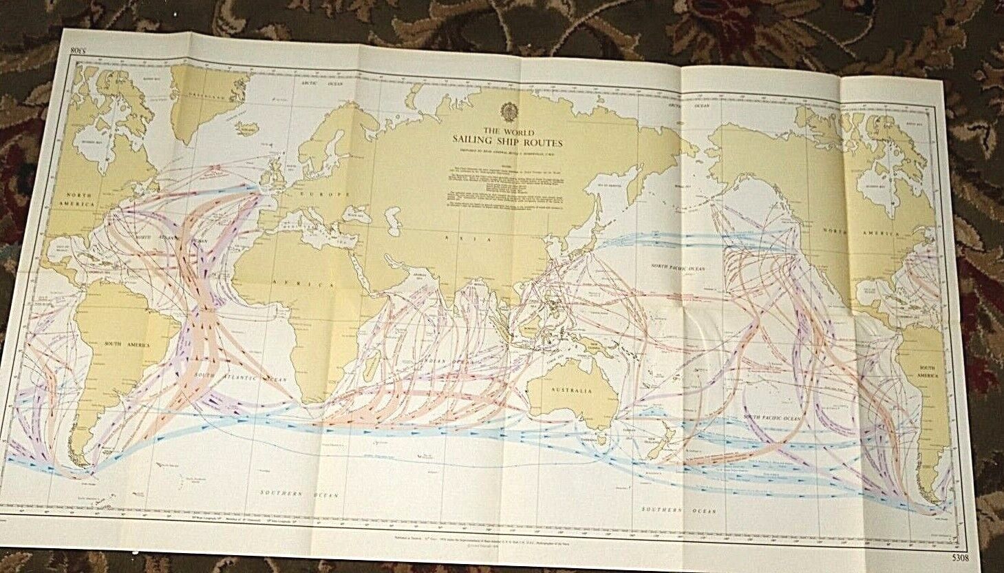
3- WORLS SAILING SHIP ROUTES. 1974.
Prepared under the superintendence of Rear Admiral G. P. D Hall, Hydrographer of the Navy No. 5308. 22" X 39.5"
4- TRACKS FOLLOWED BY SAILING AND AUXILIARY POWERED VESSELS. Published originally under the Superintendence of Captain W.J.L Wharton, Hydrographer. Most recent corrections 1953.
No. 5309. 22" X 39.5" (Likely printed same time as the ones above)
5- LOAD LINE RULES- ZONES, AREAS AND SEASONAL PERIODS. 1968. Published May 1968 under Superintendence of Rear Admiral G.S Ritchie, Hydrographer of the Navy. D6083. 16.5" x 29.75"
6- WORLD CLIMACTIC CHART- JANUARY. 1973. Published
under Superintendence of Rear Admiral G.S Ritchie, Hydrographer of the Navy. (Short tear to margin on right) 11" x 26" 5301. Printed June 1973
7- WORLD CLIMACTIC CHART- JULY. 1973.
Published
under Superintendence of Rear Admiral G.S Ritchie, Hydrographer of the Navy. 11" x 26". 5302. Printed June 1973
8- HYDROGRAPHIC OFFICE CONVERSION TABLE
My assumption is that all of these, except for maybe #5, were printed in 1973 or 1974


