-40%
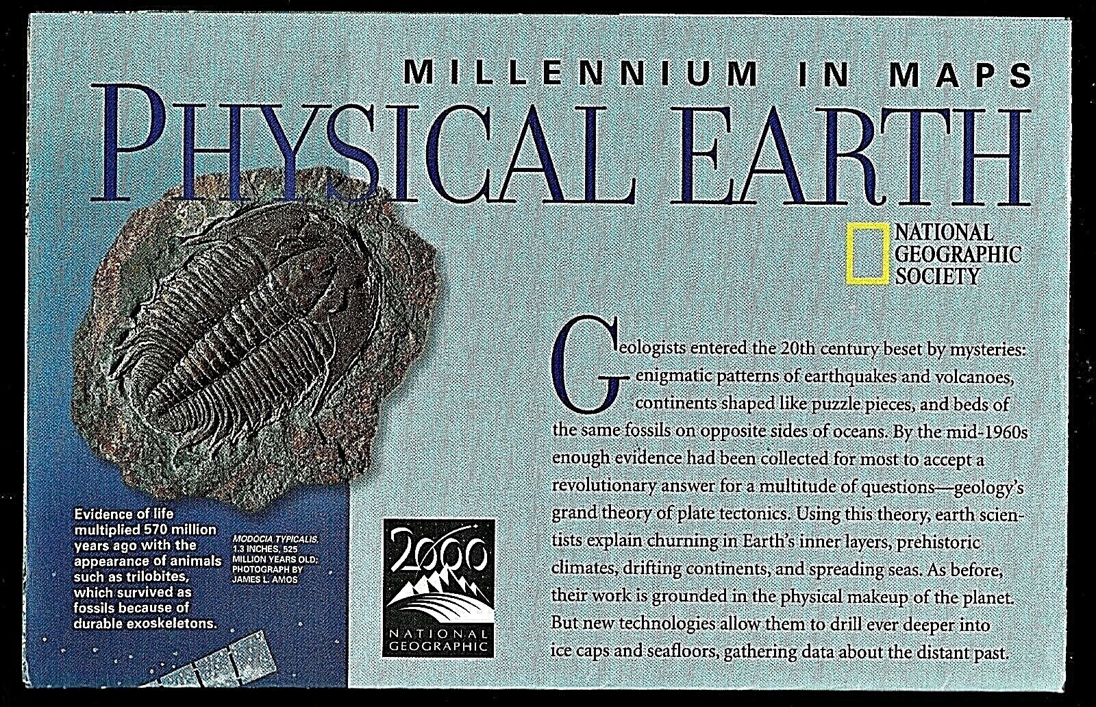
1998-5 May Millennium in Maps PHYSICAL EARTH National Geographic Map - B (J)
$ 1.82
- Description
- Size Guide
Description
1998-5 May Millennium in Maps PHYSICAL EARTH National Geographic MapA fascinating study of the history of planet earth, from hothouse at it's formation, to ice house during the ice age; to the present and with the movement of the plates (and land masses). The map-side contains a large map of Physical Earth showing the 16 plates which make up the earth's crust and indicating where the crusts are moving together and where they are moving apart.; where notable 20
th
century earth quakes have occurred; and where prevailing winds exist which create our weather. There are 4 map insets showing climate zones, the plates, and the summer and winter polar ice for both poles. The reverse-side shows the positions of the crusts and land masses in stages from 650 million years ago to 18,000 years ago.
Map is approximately 20” x 32”.
The National Geographic is known for it's fine maps & detailed information.
Supplement to the National Geographic Magazine; magazine is not included.
U.S. economy domestic shipping (normally 3-10 business days) is FREE; faster service is available if needed.
International shipping is by weight - contact us for discou
nted shipping r
ates before you purchase.


