-40%
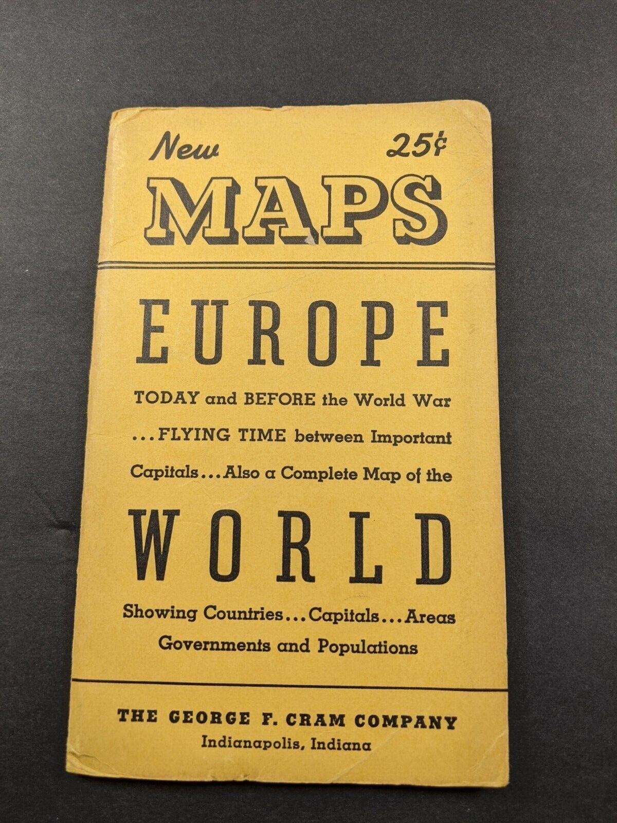
1937+ Cram Pocket Folding Map Europe Today & Before WW, Flying Times + World
$ 4.22
- Description
- Size Guide
Description
Fold-out Pocket Map by The George F Cram CompanyOne side Depicts Europe with Boundaries marked for Today and Before
The
World War
Also Flying Times between important Capitals
A Map of the World is on the other side. Showing Countries Capitals Areas
There is no date on the map that I can find, but guessing it may be between WW1 and WW2 as it refers to the world war rather than WW2.
The folded map is 4 x 6 1/2". The map unfolded is 22 x 18 1/2.
The map is in Good condition. No tears or stains etc. The cover has some wear on the edges and corners. See photos.
Please review the photos carefully as they are an integral part of the description.


